
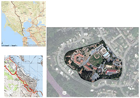
The Creek & the Plan
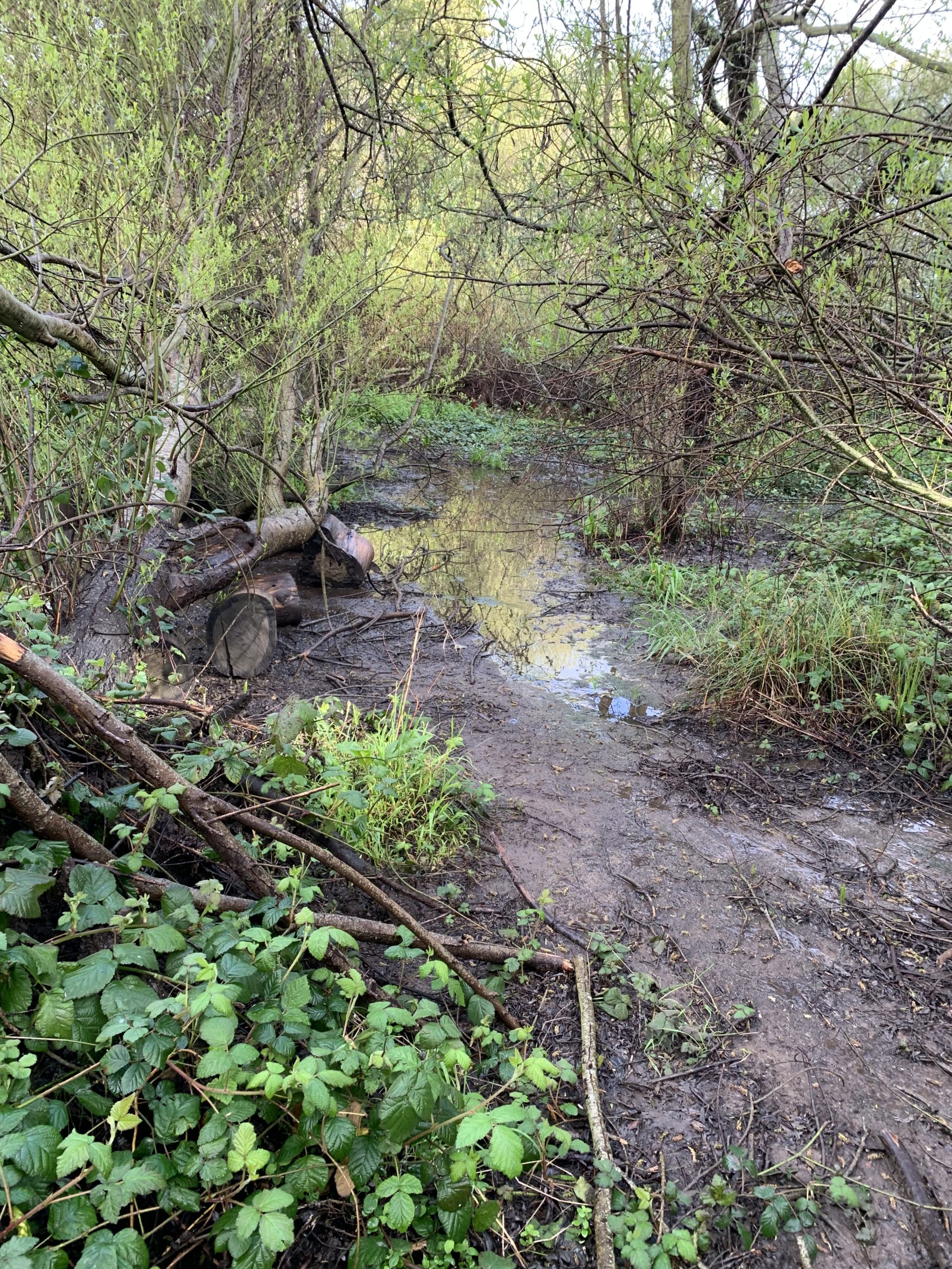
Willow Creek flows from its source, above Hwy 101, to the edge of Richardson Bay, running primarily underground in concrete culverts. You can see remnants of the old creek in the open space parcel at the corner of Bridgeway and Nevada Street. Water in this open channel runs year-round through Willow Grove and sustains a vibrant natural ecosystem that provides habitat for animals and people alike.
The Plan
The Willow Creek Restoration Plan is part of a phased process of “infrastructure renewal”, a process that cities, counties, and districts are undergoing in all facets from water supply to storm drainage to wastewater collection and treatment to road maintenance and upgrades. This forward-thinking view of infrastructure renewal includes restoration of stream and wetland functions with all its benefits to humans, fish, and wildlife integrated into one shared community vision.
___________________________________________________________________________
DOWNLOADS
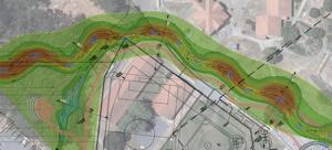
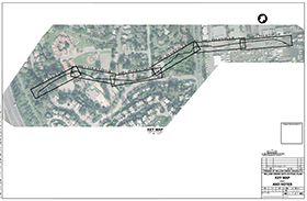
Willow Creek Daylighting “Plan B” North Perimeter Concept
APRIL 2023
Download PDF (14MB)
Download PDF (2.1MB)
JULY 2018
Download PDF (2.4MB)
Download PDF (8MB)
Download PDF (5MB)